Hotels in Madagascar
Madagascar Provinces
Madagascar Island
.jpg)
Eden Lodge Madagascar
10 ReviewsThe Eden Lodge Madagascar offers luxurious yet environmentally-friendly accommodation in Madagascar. This exclusive, sustainable development was the first Green Globe certified hotel in
ADDRESS: Madirokely Plage, BP 372 - Hellville
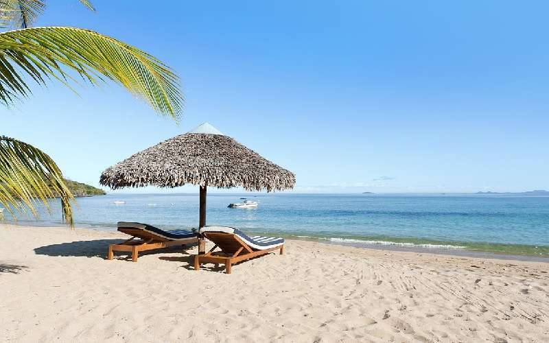
Nosy Iranja Lodge
4 ReviewsThe Nosy Iranja Beach Resort is near Nosy Be island off the northwest coast of Madagascar in the Indian Ocean of Southern Africa.
Nosy Iranja Antsiranana Madagascar is here where sandy
ADDRESS: Nosy Iranja Island, near Nosy Bay
.jpg)
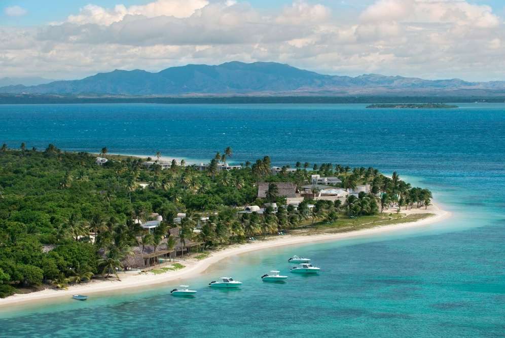
Nosy Saba Private Island & Spa
6 ReviewsNosy Saba Island Resort Madagascar Is characterized by its sandy white beaches and the warm, turquoise ocean waters, this resort is set about 72 miles South of Nosy Be.
The Nosy Saba
ADDRESS: Nosy Saba Island, North West of Madagascar
.jpg)
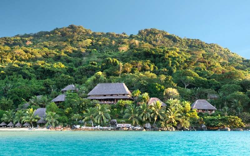
Princesse Bora Lodge & Spa
7 ReviewsThe Princesse Bora Lodge and Spa in Madagascar offers luxury and authenticity in one place. This hotel nestles in one of the world’s last authentic places: the Sainte-Marie Island
ADDRESS: BP 13 - 515, Island Sainte-Marie

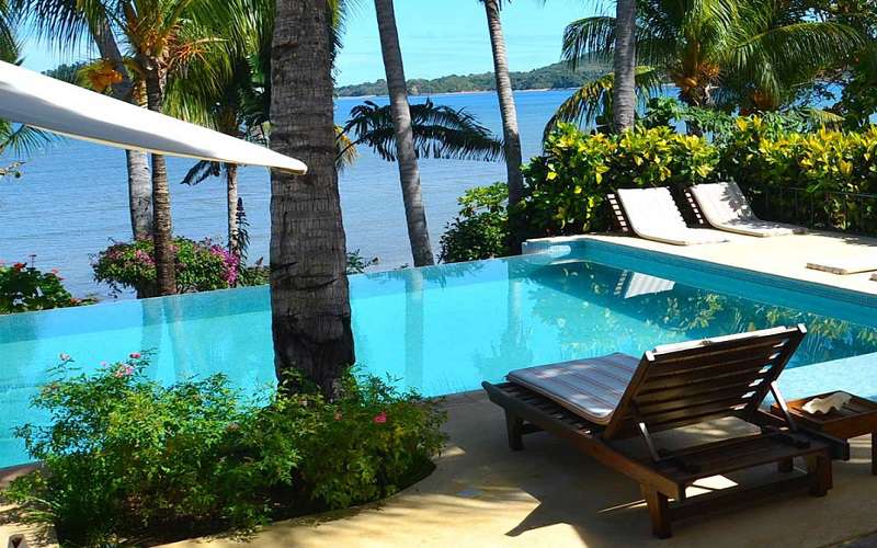
Ravintsara Wellness Hotel
5 ReviewsRavintsara Wellness Hotel is the creation of this excellent resort which merges effortlessly with the garden and the sea. The spot on which the Madagascar hotel is located is rich in
ADDRESS: Pk 15 Bemoko-Dzamandzar, BP 142 Nosy-Be
Time + Tide Miavana
6 ReviewsTime + Tide Miavana is on Nosy Ankao island just off the north-eastern region of Madagascar.
Surrounded by the warm, tropical Indian Ocean, this ultra-luxurious beach retreat offers to
ADDRESS: Miavana Private Island, Nosy Ankao Island, Nosy Ankao Island
Tsara Komba Luxury Ecolodge Hotel
6 ReviewsTsara Komba Luxury Ecolodge Hotel is Set on the island of Nosy Komba in the Nosy Be archipelago of Madagascar.
The four-star Tsara Komba Luxury Ecolodge Hotel enjoys a most pristine beachfront
ADDRESS: Island of Nosy Komba, Nosy Be
Vanila Hotel & Spa
5 ReviewsThe Vanila Hotel & Spa the spectacular island of Nosy Be in Madagascar can be translated as “Big Island” and was named as such as it is the biggest island around
ADDRESS: Nosy-Be, Northern region of Madagascar